Tropical Cyclone Approaching Hong Kong, T1 Warning in Effect
A tropical cyclone is currently heading towards Hong Kong and is expected to be at its closest point to the city between Saturday and Sunday. The local weather authority has confirmed that the T1 warning remains active, with the signal expected to stay in place until at least noon on Saturday.
As of Friday at 6pm, the cyclone was estimated to be approximately 540 kilometers east-southeast of Hong Kong. It is moving closer to the region while gaining strength as it travels across the South China Sea. Earlier on Friday, the Standby Signal No 1 was issued at 12:20pm, indicating the potential for a tropical cyclone to affect the area.
The cyclone is anticipated to come within about 400 kilometers of Hong Kong during the late evening of Saturday and early morning of Sunday. However, its exact path remains uncertain, with forecasts suggesting it may shift northward later on Sunday toward the Taiwan Strait. The Observatory will continue monitoring the situation and may consider issuing higher warning signals between Saturday and early Sunday if conditions warrant.
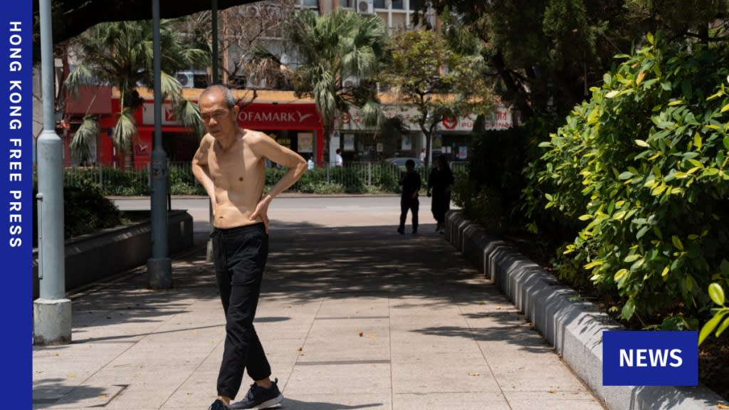
In addition to the approaching storm, the Observatory has also warned of extremely hot weather in the coming days, with temperatures potentially reaching 35 degrees Celsius or higher in some areas. This heat could lead to sudden showers and thunderstorms, adding to the complexity of the weather conditions.
Residents are advised to avoid coastal areas and refrain from water-based activities due to the risk of large swells. The government has emphasized the importance of staying informed and taking precautions, especially when planning outdoor activities.
Understanding the T1 Warning
The T1 warning, also known as the “Standby” signal, is issued when a tropical cyclone is located within roughly 800 kilometers of Hong Kong and could potentially impact the region. At this stage, there are no immediate restrictions on daily life, but the public is encouraged to remain vigilant.
Key points associated with the T1 warning include:
- All schools and government services remain open.
- Public transportation continues to operate as usual.
- Authorities recommend that individuals consider the tropical cyclone when making plans and remain cautious of strong winds over offshore waters.
Climate Change and Increasing Cyclone Intensity
Tropical cyclones derive their energy from warm ocean waters, and climate change is contributing to their increasing intensity and destructiveness. According to data from NASA, over 90% of the excess heat generated by global warming is absorbed by the oceans, which exacerbates the formation and strength of these storms.
Rising greenhouse gas emissions are preventing heat from escaping into space, leading to warmer sea surface temperatures. This environment allows cyclones to develop more rapidly and with greater power than in previous decades.
The Observatory has predicted that between five and eight tropical cyclones will come within 500 kilometers of Hong Kong this year. This number is considered normal to above normal, reflecting the ongoing trend of increased storm activity in the region.
As the climate crisis continues to evolve, the frequency and severity of such weather events are likely to increase, underscoring the need for continued preparedness and adaptation efforts.


