Unprecedented Rainfall Hits Northern Ireland and the Republic of Ireland
Northern Ireland experienced an extraordinary weather event this week, with parts of the region receiving more than 85% of the average July rainfall within a single 24-hour period. Forecasters have been monitoring the situation closely, issuing multiple weather alerts as heavy downpours swept across the island of Ireland.
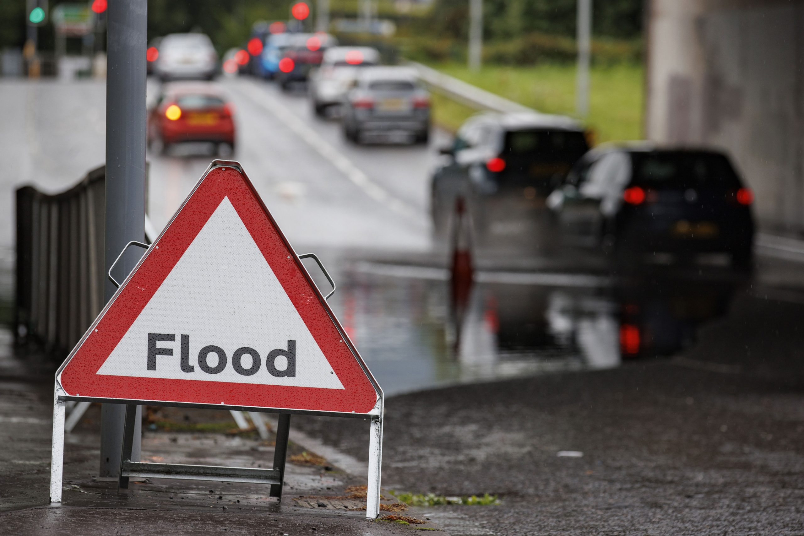
The intense rainfall led to localized flooding in various areas, disrupting daily life and creating challenging travel conditions. Lightning strikes and reduced visibility added to the difficulties faced by residents and commuters. The Met Office issued a yellow-level rain warning for the east coast of Northern Ireland, which was set to expire at 6pm on Monday. This warning highlighted the risk of significant rainfall, with some areas expecting up to half a month’s worth of rain in less than a day.
Normally, the region records an average of 89mm of rain in July, but forecasters predicted that between 50-75mm could fall within just 12 to 18 hours. Killowen in County Down recorded 68mm of rain since 5pm on Sunday, according to the Met Office, which is the highest amount recorded across the UK during this period. This is particularly notable as the area typically sees 80.75mm of rain for the entire month.
Murlough in County Down also saw 60mm of rain in the same timeframe, which accounted for 87% of its July average of 69mm. The Met Office suggested that other regions may have experienced even higher amounts of rainfall. The extreme weather had a significant impact on local attractions, such as the Marble Arch Caves in County Fermanagh. A spokesperson for the site described the flooding as a “highly unusual weather event,” as it had never occurred before.
Despite the challenges, some residents remained undeterred. A couple who were evacuated due to rising water levels expressed their intention to return to the area. The Met Office had placed a 24-hour yellow-level rain warning in place for Antrim, Armagh, and Down, which was set to expire at 6pm on Monday. A more severe amber-level warning was temporarily in effect overnight but was lifted early.
Forecasters warned that homes and businesses could be at risk of flooding, with some communities potentially cut off by flooded roads. Fast-flowing or deep floodwater posed a danger to life, prompting officials to urge caution. A yellow-level thunderstorm warning was active for the western half of Northern Ireland between midday and 8pm on Sunday.
In County Fermanagh, flooding affected several key routes, including the Marble Arch Road, Florencecourt, and Sligo Road in Enniskillen. Police described these roads as impassable for a time. A PSNI spokeswoman advised drivers to take care, slow down, and exercise caution on affected roads.
In the Republic of Ireland, a status orange rain warning was in place for Dublin, Louth, Meath, and Wicklow from midnight until 2pm on Monday. The Irish national forecasting agency, Met Eireann, warned of the possibility of thunderstorms amid persistent and heavy rain. A less severe warning for the Kildare region also expired at 2pm.
The downpours over Sunday and Monday caused localized flooding in parts of Limerick and Louth. These events followed earlier alerts about thunderstorms in the east of the country and increased rainfall in the south-west on Sunday. As the region continues to recover from the extreme weather, authorities are urging residents to remain vigilant and prepared for further changes in the weather.


