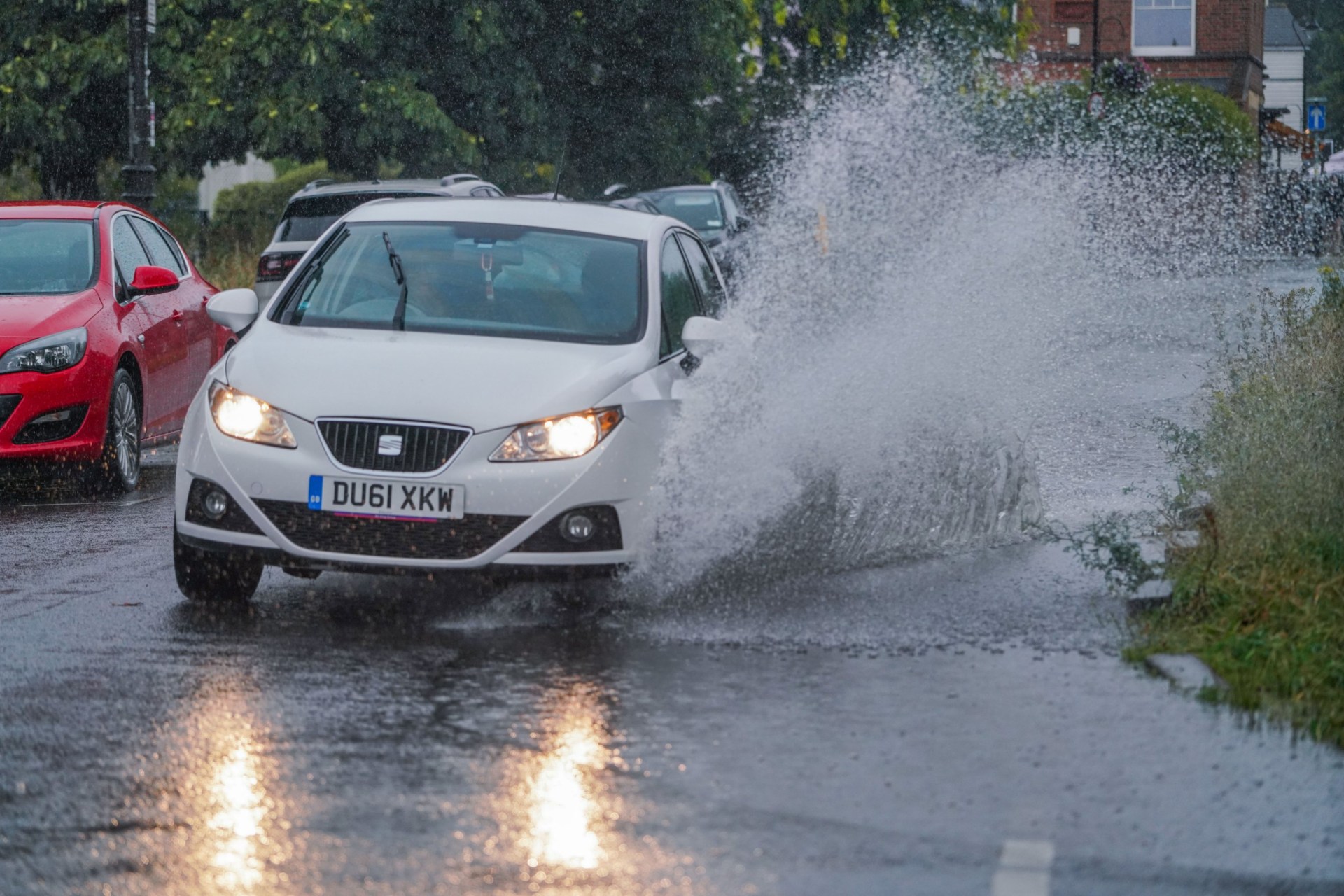
Current Weather Conditions and Flood Alerts
A total of twenty flood alerts have been issued as more rain and thunderstorms are expected to affect much of the country today. The Environment Agency has issued 18 flood alerts, indicating that flooding is possible, in several regions including the midlands, Nottinghamshire, Derbyshire, and Yorkshire, among other areas.
In addition, the Met Office has issued yellow thunderstorm warnings for large parts of England and Scotland, along with a yellow rain warning for the eastern half of Northern Ireland, which will remain in effect until 9pm tonight. These warnings suggest the potential for flash flooding, which could lead to hazardous driving conditions and damage to homes.
Wales, south-west England, and western areas of Northern Ireland are currently not under any warnings, as they experienced the worst of the weather yesterday.
Forecast for Today
The Met Office predicts a cloudy and damp start to the day, particularly in the southeast and across Northern Ireland, where heavy rain is expected. Elsewhere, the weather will be brighter, but showers are expected to return soon, bringing heavy and thundery conditions. There is also a risk of hail this afternoon.
Areas Under Flood Alerts
Several UK areas are under flood alerts due to the ongoing weather conditions. These include:
- Bottle Brook in Derbyshire
- Loughborough urban watercourses and local tributaries to the River Soar
- River Blythe in Warwickshire
- River Cole
- River Erewash Tributaries in Derbyshire and Nottinghamshire
- River Leen, Day Brook, and Tottle Brook in Nottinghamshire
- River Maun in Nottinghamshire
- River Rea
- River Stour and Smestow Brook in the Black Country and South Staffordshire
- River Trent Tributaries in Nottinghamshire
- Tributaries in Leicester City
- Tributaries in North Derbyshire
- Tributaries in South Derbyshire
- Upper Tame
- Upper Tame at Sandwell Valley
- Wash Dike catchment
- Wyke Beck and Meanwood Beck catchments
Rainfall Outlook
Tonight, further outbreaks of rain are expected across central and northern areas, with the heaviest and most persistent rain in the northwest. The south and east will remain drier, with only a few isolated showers, according to the forecast.
Rain is expected to continue across western Scotland, gradually easing throughout the day. In other regions, there should be sunny spells and scattered, possibly thundery showers, mainly in the east.
Weather Outlook for the Week Ahead
The outlook for Wednesday to Friday suggests mainly sunny spells and scattered showers as low pressure continues to bring unsettled conditions. By Thursday, there should be fewer showers and more sunshine, with temperatures remaining at a seasonal average.
Water Restrictions in Place
Today’s wet weather comes alongside water restrictions introduced by Southern Water, which has implemented a house pipe ban to address ‘critically low’ water levels. This ban is in effect across Hampshire and the Isle of Wight, starting at 9am today. Residents are not allowed to use hosepipes for activities such as watering gardens, washing cars, or filling paddling pools.
Thames Water is set to introduce a similar ban for households in Oxfordshire, Gloucestershire, most of Wiltshire, and parts of Berkshire from July 22. The restriction will apply to specific postcodes: OX, GL, SN, RG4, RG8, and RG9.
Yorkshire Water has already implemented a ban across the entire Yorkshire region since July 11, while South East Water introduced restrictions for homes in Kent and Sussex from July 18.
Stay Informed
For the latest updates on weather conditions and other news, consider signing up for our News Updates newsletter. You can also stay informed by checking our news page regularly. If you have any questions or want to share your thoughts, feel free to contact our news team via email at [email protected].


